“Hopefully, we will be able to establish in 2030 the Oriental Smart Eye (OSE) Constellation, a global real-time intelligent space-air monitoring network. When this day comes, satellite access will be much more affordable, and everyone can use satellite data —just like the way we are using WeChat,” said Li Deren, member of the Chinese Academy of Sciences (CAS) and Chinese Academy of Engineering (CAE), and a globally renowned expert in geomatics, at HNU’s 36th Distinguished Scientist Lecture on February 23.
The event, themed “On Ubiquitous Spatiotemporal Intelligence”, took place in the auditorium of the Social Sciences Complex. Attendees included Xu Wei, Deputy Chairman of Hainan Association for Science and Technology, HNU President Luo Qingming, also a member of CAS, as well as other senior HNU leaders. Luo chaired the lecture.
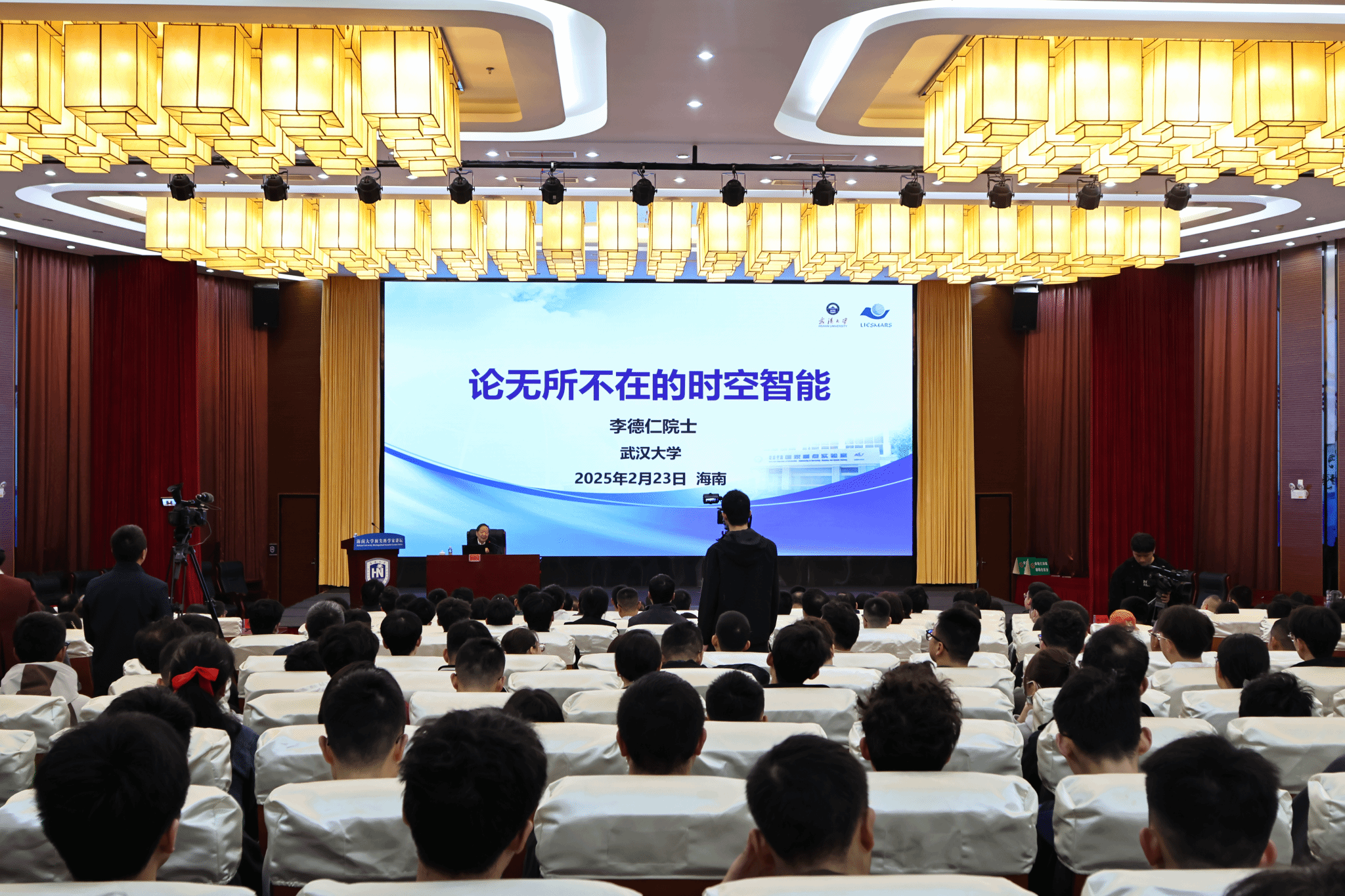
Lecture venue (Photo by Liu Junle)
At the beginning of the lecture, Li Deren reminisced about his bond with HNU with a poem he wrote on a topographic surveying trip to Hainan in the 1960s, “In my second year in college, I joined that surveying team to help Hainan cultivate natural rubber. That was my first visit to the island. Back then, our tools were rudimentary, and conditions were tough,” he recalled.
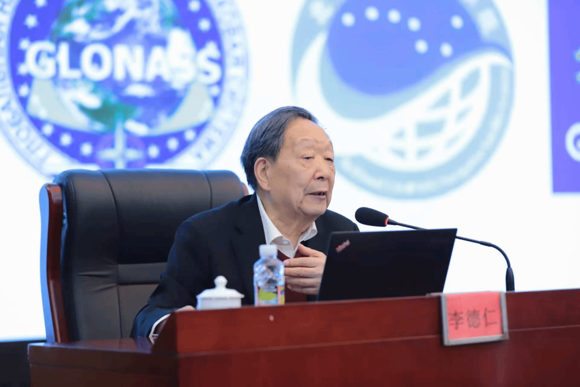
Li Deren delivering the lecture (Photo by Liao Dandan)
In 1959, as part of a national strategy, Wuhan Institute of Surveying and Mapping (which later merged into Wuhan University in 2000) dispatched nearly 300 students to Hainan to conduct topographic surveys. Li, then a young student, was among them. Amid the western embargo on strategic resources in 1960s, China faced critical challenges in its rubber industry. Collaborating with researchers from the South China Tropical Crops College (now Hainan University), they surveyed and mapped Hainan’s terrain to enable large-scale rubber cultivation across latitudes 18°N to 24°N—a global breakthrough that transformed China into the world’s fifth-largest rubber producer.
Decades later, Li returned to Hainan on a new mission in 1991: aerial mapping of the island. To overcome the challenge of control point positioning, he pioneered the practice of integrating the Global Positioning System (GPS) with aerial photogrammetry. His innovative approach—airborne GPS triangulation—enabled high-precision digital mapping at a 1:10,000 scale without relying on ground control points.
“The world is made of matter, matter is in motion, and motion is described by spatiotemporal information. In an era defined by ubiquitous connectivity and AI, we must rely on smart technology in the acquisition, processing, and extraction of spatiotemporal data. This is how spatiotemporal intelligence has emerged as a new discipline,” Li emphasized.
Focusing on new quality productive forces and spatiotemporal intelligence, Li Deren delivered an insightful lecture, illustrating how spatiotemporal intelligence works and its application achievements through case studies that span PNT (Positioning, Navigation, Timing) services, PNTRC (Positioning, Navigation, Timing, Remote Sensing, Communication) system, drone and mobile mapping robots, sensor networks, unmanned vessels, and lunar and Martian exploration, highlighting its pivotal role in aerospace, ground transportation, maritime operations and deep-space exploration.
“Spatiotemporal intelligence embodies the digitalization, informatization, networking, intelligence, and real-time evolution of geospatial sciences in the era of ubiquitous connectivity and digital twins. It enables automated, real-time perception of both natural phenomena and human activities, making it a key pillar of AI,” asserted Li. He called for the transition from traditional geospatial sciences to spatiotemporal intelligence, stressing the need for AI-driven PNTRC services to unlock multi-trillion-yuan industries and propel China’s geospatial sciences to new heights.
Although in his eighties, Li spoke for over two hours with great enthusiasm. In the Q&A session, Li offered detailed and inspiring answers, demonstrating his expertise and dedication to fostering young talent.
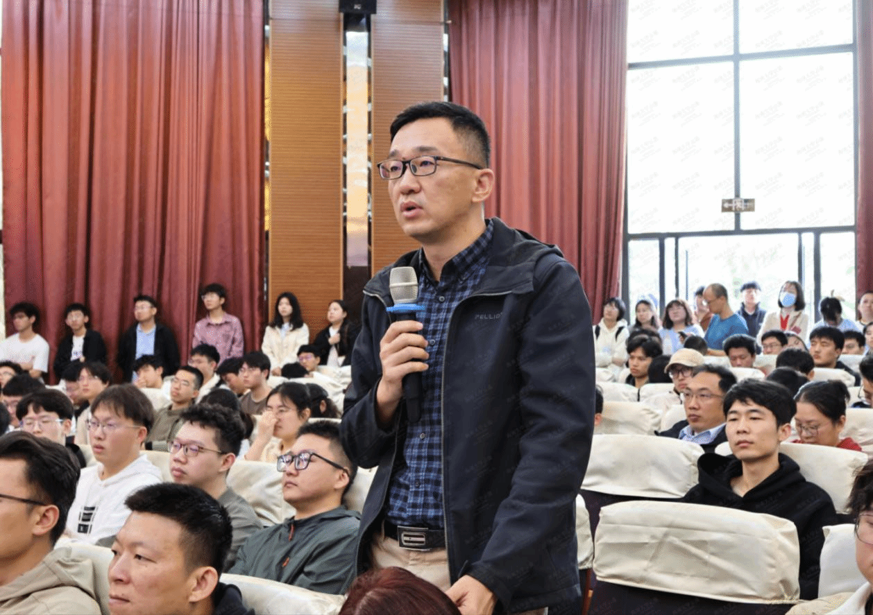
Q&A session (Photo by Liao Dandan)

Q&A session (Photo by Liao Dandan)
Li retired in June 2019, but his passion to advance remote sensing technology has never waned. He aspires to establish a national laboratory for space-air information to bolster China’s trillion-yuan industrial chain in this field.
“As surveyors, we must pursue original research relentlessly, addressing the nation’s needs and priorities. We should contribute to the construction, integration and innovation of the information infrastructure to equip China with the cutting-edge surveying technology. Let’s strive to make China a global sci-tech powerhouse by 2035.” he declared.
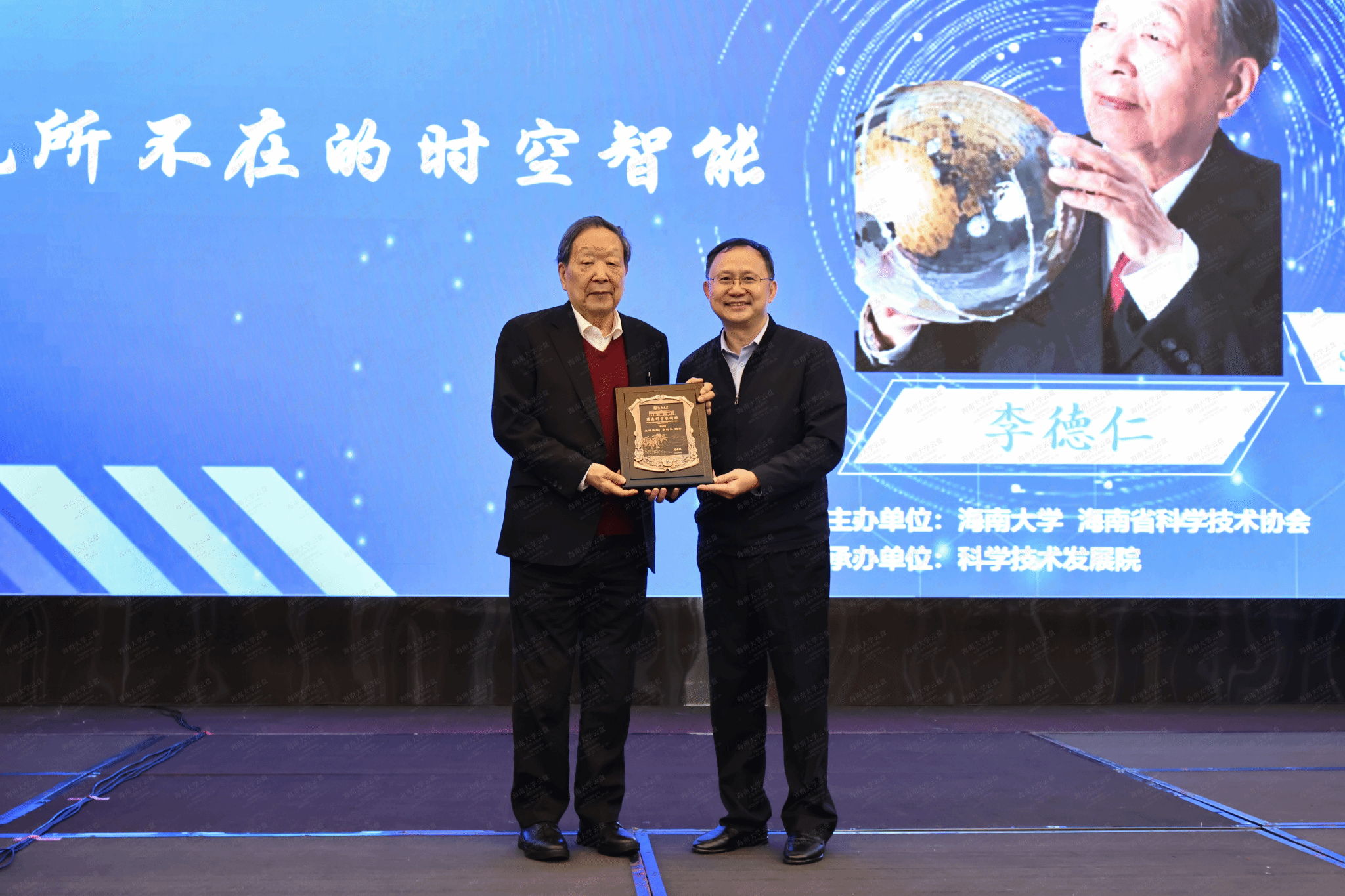
HNU President Luo Qingming presenting a souvenir (Photo by Liao Dandan)
From studying in the Department of Aerial Photogrammetry at Wuhan Institute of Surveying and Mapping to becoming a recipient of China’s State Preeminent Science and Technology Award, Li has always upheld his commitment over the past decades: “national priorities guide my endeavors.”
Li, a trailblazer in photogrammetry and remote sensing, has led breakthroughs in satellite-based global high-precision positioning and mapping and revolutionized high-precision global mapping and Earth observation systems. His work has been instrumental in elevating China’s capabilities in high-resolution Earth observation.
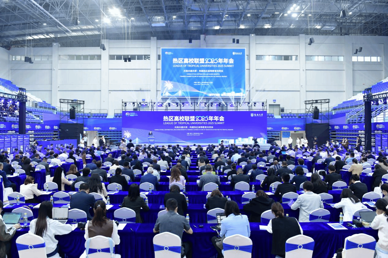
Over 800 people attended the event in person or online, including the representatives from Hainan Association for Science and Technology and other sci-tech associations, heads of HNU’s departments concerned, as well as faculty and student representatives from all HNU campuses and science & education parks.
Translated by Han Yunsheng
Proofread by Kuang Xiaowen, Yang Jie